Analysis of 20 years of urban growth in Dakar has made it possible to set out various urbanisation trajectories through to 2050
Each year, Dakar’s population is faced with the same catastrophic scenario: extreme rain, leading to flooding with disastrous human and material repercussions. While the recurrence of these urban catastrophes is often explained by the major intensification of rainy episodes in the past few years, the issue of “uncontrollable” demographic growth is also singled out. And in the case of West African cities like Dakar, it is generally the housing of the poorest urban populations that is in jeopardy. These people are considered responsible for their own misfortune, having illegally settled in areas prone to high risk of flooding.
“It would be interesting to turn the reflection on its head: why do the public authorities let populations live in zones identified as at risk? Do they comply with the rules that they have set themselves, and enforce compliance?” asks Anastasie Mendy, associate professor of Geography at Cheikh Anta Diop University of Dakar, in Senegal.
Strong urban growth
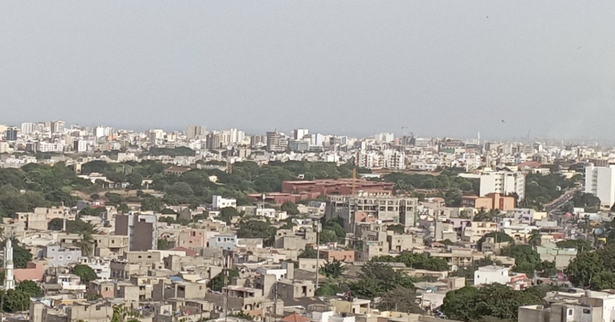
Between 2001 and 2021, the region of Dakar doubled its urban footprint. Certain departments are now almost saturated, such as Dakar-Centre, where 76% of the surface area is occupied by buildings, housing, facilities, infrastructure, and industrial and commercial buildings.
The characteristics of the land in the Dakar metropolitan area determine which zones are vulnerable to flooding. As well as a low-lying topography which favours humid sea winds, soil type analysis shows that 57% is hydromorphic, i.e. regularly saturated with water. The groundwater table rises by 15 cm per year on average in Dakar.
Soil characteristics ignored
The department of Rufisque is where the soil is most vulnerable to flood risk, with 70% hydromorphic. And yet, it is the department undergoing the greatest urban growth, at an annual rate of 4%. Another example of public authorities failing to take soil characteristics into account is the development of the district of Jaxaay, where victims of the 2009 flood from the departments of Pikine and Guediawaye were rehoused. By a twist of fate, residents must face new floods each year.
“Runoff passed through the district, but without danger for the populations and housing, as it just flowed to the other side. But in the past two years, we started to notice real flooding because the new road was built without channelling. The natural passage of the water is now blocked and it overflows straight into houses, causing regular flooding”, says Fatma G., 52 years old, victim of the 2005 floods and rehoused in Jaxaay.
A clear but mainly disregarded urban master plan
The developments are surprising to say the least, given the configuration of the region in the Urban Master Plan (PDU) through to 2035. It sets out three categories of urban space.
First of all, zones unsuitable for urbanisation, in which any form of development is not authorised: natural and managed forests, wet and at-risk zones, including landslide zones with steep slopes, flood zones and coastal submersion zones. Secondly, zones for controlling urbanisation, which are reserved for agriculture. And lastly, zones for promoting urbanisation, which are in theory the only ones that can be developed.
However, when we look at the history of development, it is clear that these rules are far from being respected. For example, the Dakar Technopole in Guediawaye was built by the public authorities themselves, in a wet zone labelled “protected” by the urban development plans.
The impact of restrictions on future scenarios
Even if they are not always respected at present, the restrictions set out by the PDU still have the power to shape Dakar’s urbanisation trajectory in a different way.
“If the previous dynamic (2001-2021) continues linearly through to 2050, this will lead to a scenario where 55% of the surface area of Dakar metropolitan area is covered by the urban footprint. If, on the other hand, application of the PDU is strictly respected and enforced, this goes down to 52%,” says Attoumane Artadji, IRD geographer at LPED.
The most notable differences between the two types of scenarios relate to the preservation of ecosystems. Compliance with the PDU would effectively protect green spaces and forests, maintain agricultural zones and limit the expansion of the urban footprint onto the northern coast and near marshlands.
Diachronic analysis of land use shows how the process of occupying floodable land is encouraged both by a laissez-faire approach with regard to population settlement and by development projects that do not comply with the PDU, in equal measure. Vulnerability to flooding will mainly depend on compliance with urban planning, which will influence the future trajectory of the Dakar metropolitan area.
Stéphanie Dos Santos, Attoumane Artadji, Papa Gueye Sow, Anastasie Mendy and Cheikh Samba Wade
This article has been published in IRD le Mag’Go to the original to see maps from the authors’work illustrating the text.


